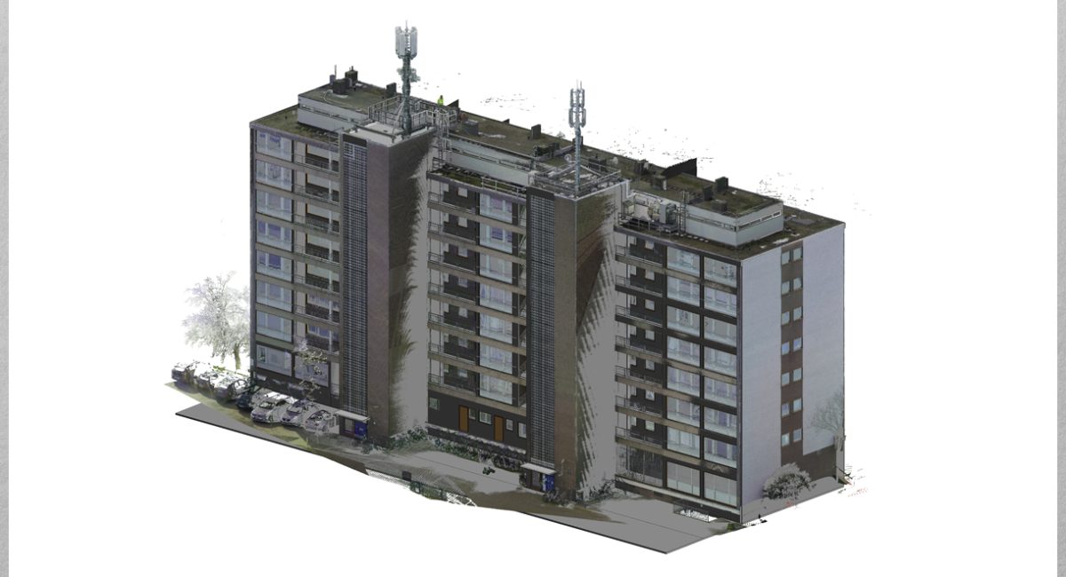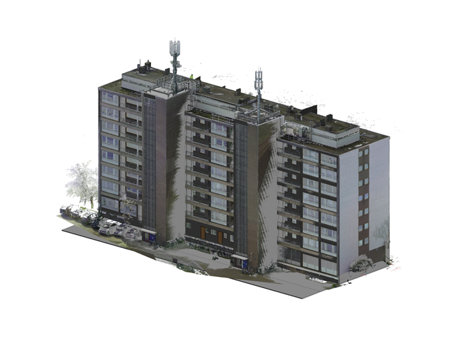
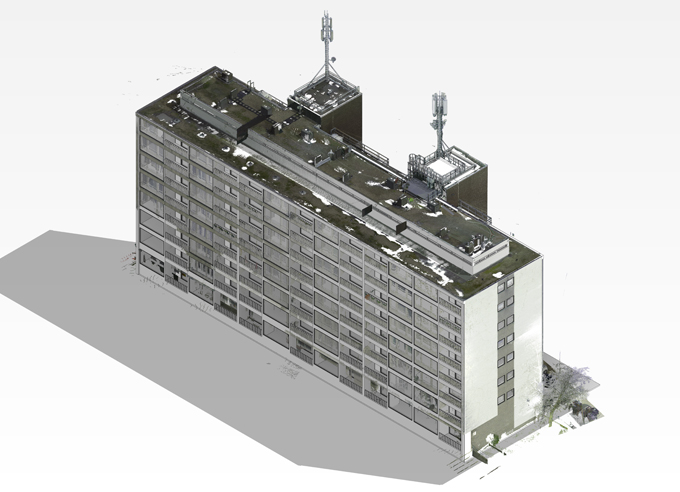
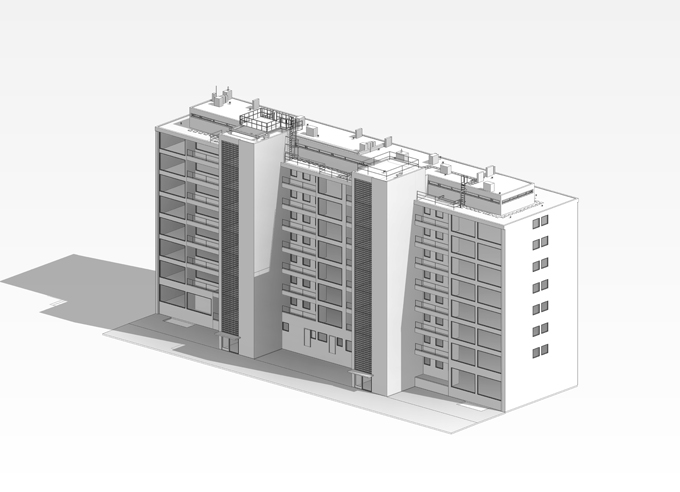
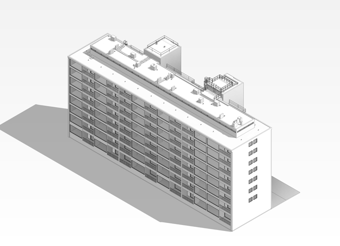
This project involved the creation of a high-fidelity As-Built BIM Digital Twin for a multi-story residential complex to support the strategic installation and management of telecommunications infrastructure. Using advanced Scan-to-BIM workflows, the project captured existing roof conditions and building facades with sub-centimeter accuracy to facilitate technical equipment placement.